I agree with that assessment, but it would be quite horrible for all involved (and those not involved). Wars are a nightmare for people who are used to extreme hardship, and our society is most certainly not even used to the slightest of inconveniences.Wouldn't even really be a fight. Wouldn't even really need to fight much.
Rural America has access to and controls all the infrastructure that makes a modern economy possible. Just cut off or destroy the highway and railroad bridges/tunnels, transmission lines, and pipelines flowing into the major coastal cities and wait for them to starve and freeze in darkness until they quit quickly enough.
Both sides definitely lose in any material or moral sense, sure, but in a strictly military sense... I'm betting on whichever side controls the mountain passes through the Appalachians into the major population centers in the Northeast, and I think we both know which side of any conflict like this that would be.

No forums found...
Site Related
Iowa State
College Sports
General - Non ISU
CF Archive
Install the app
"Civil War" trailer
- Thread starter NorthCyd
- Start date
No forums found...
Site Related
Iowa State
College Sports
General - Non ISU
CF Archive
You are using an out of date browser. It may not display this or other websites correctly.
You should upgrade or use an alternative browser.
You should upgrade or use an alternative browser.

They didnt during the civil war either. But the state governments have a lot more organizational power so things may be represented as 'state v state' even when its muddier in reality.
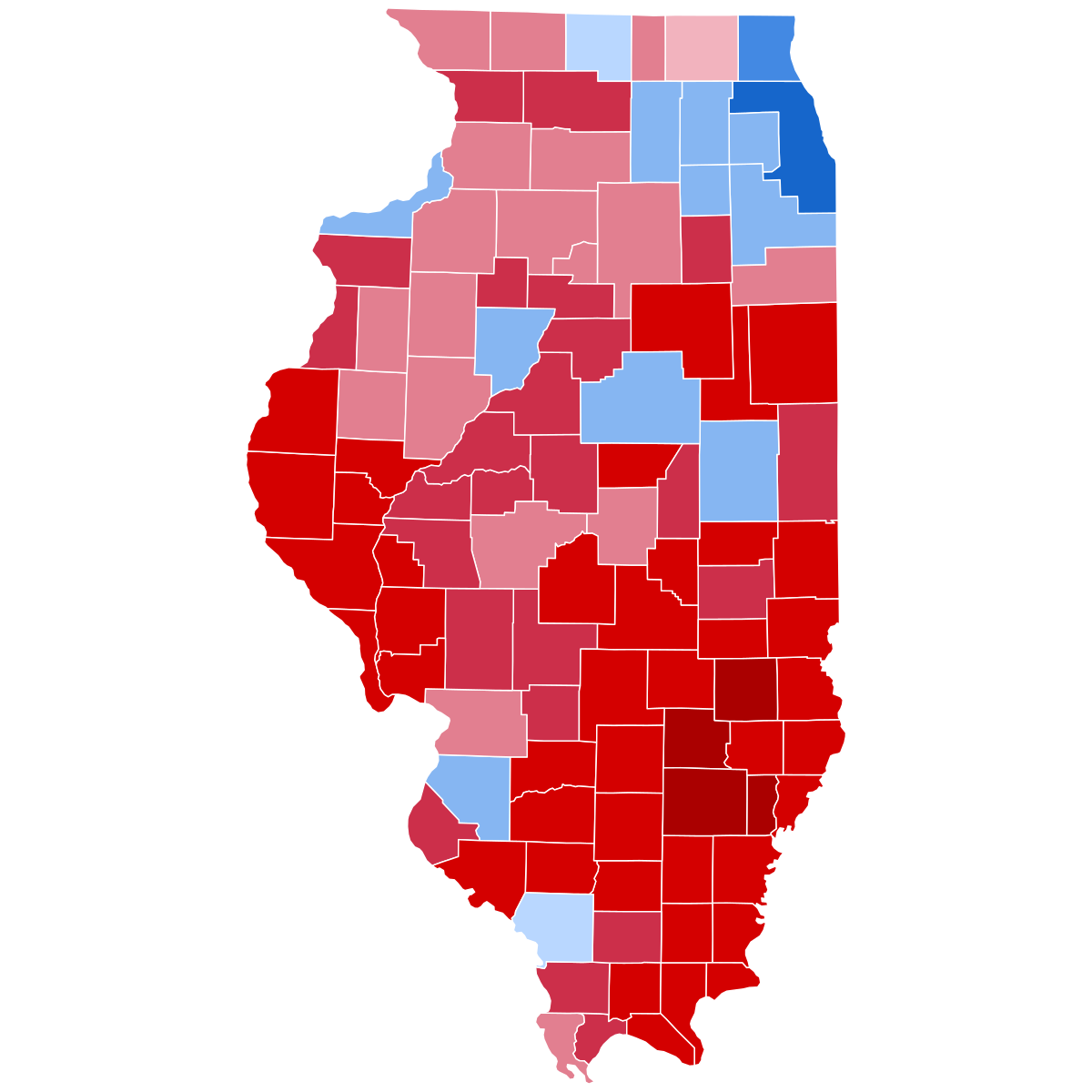
Perhaps. But I think the electoral map now is different than it was in 1860.
I haven't done a rigorous version of this, but I don't think Abraham Lincoln won a single county vote south of the Mason-Dixon Line and the Ohio River in the presidential election of 1860...
https://en.wikipedia.org/wiki/1860_...ted_States_Presidential_Election_Counties.svg
There was very clearly a border between North and South that corresponded exactly with where the states stood on the slavery issue and ended up being the dividing line between Union and Confederacy save for the border states that were convinced (somewhat through skilled political maneuvering but also through the not so veiled threat of federal troops) to remain with the Union with MD, DE, KY, and part of VA/WV. The rainbow of colors across MO makes my point that was the one place where the Civil War was truly a prairie fire civil war.
Compare that to say Texas last time around...

Team Blue won the Metroplex, Houston, Austin, San Antonio, and El Paso very handily. Not so in 1860. It wasn't like Atlanta and New Orleans voted for Lincoln in 1860. The antebellum South didn't have urban enclaves of people who found common political cause with the people in Boston, New York, Philadelphia, and Washington the same way people living in the large metro areas of the South and the West do nowadays.
I went on a two day, kind of self-guided tour of probably 35 Civil War historical sites in northern Virginia/southern Pennsylvania about a year ago. Just hit one after another, driving and trying to hit as many as I could with no real "plan". Truly fascinating adventure.
It's a struggle to get 2/3 of people to vote in presidential elections and far less for other elections. As passionate as some are over politics, we are a long way from a majority of citizens willing to do anything more than bicker at each other on social media.I agree with that assessment, but it would be quite horrible for all involved (and those not involved). Wars are a nightmare for people who are used to extreme hardship, and our society is most certainly not even used to the slightest of inconveniences.
Due to demographic changes, it is expected that at some point Texas will flip.
I thought the "emerging Democratic majority" thesis was pretty much bunk at this point.
Teixeira and Judis (its originators) don't even believe in it themselves anymore.
Nonwhite voters... especially Hispanics and men... have been drifting Red for some time.
Texas could flip at some point -- change is inevitable.
Ford won California and Carter won Texas in 1976. Things will change.
But I don't think it will be or will be as simple as "just wait and things will slowly but surely turn Blue."
Sarcasm not intended. Have we evolved?
(The orbiting satellites are nuclear weapons, which I did not know until watching a recent interview. That answers evolution question, yes and no.)
(The orbiting satellites are nuclear weapons, which I did not know until watching a recent interview. That answers evolution question, yes and no.)
Last edited:
Sarcasm not intended.
That transition from the bone to the space station will never not be awesome.
When I see A24, I watch.
The trailer was chilling though I’m guessing the movie is not as “actiony” as the trailer with it being Alex Garland directed.
The trailer was chilling though I’m guessing the movie is not as “actiony” as the trailer with it being Alex Garland directed.
Would there still be football season in a civil war is all I want to know.
/s kinda.
/s kinda.
If it isn't Oregon vs Oregon State I don't want it.Would there still be football season in a civil war is all I want to know.
/s kinda.
Exactly. This idea that Americans will actually fight a war over liberal and conservative is ******* ridiculous. The amount of people willing to die over their side being in charge is miniscule.I think the only real world scenario of any kind of war in the US is if there is some kind of cataclysmic event that results in the breakdown of society and a scarcity of resources. The average American is way too comfortable to actually go and fight it out in any sort of real way over politics, even as divided as we are over that currently.
And as someone pointed out already, our Civil War wasn't really the traditional kind. The US briefly broke into 2 contiguous nations that then fought a war, with the losers being politically reunited with the winners. The divide that exists in America isn't on the basis of neighboring state governments, it's urban vs rural.
Exactly. This idea that Americans will actually fight a war over liberal and conservative is ******* ridiculous. The amount of people willing to die over their side being in charge is miniscule.
And as someone pointed out already, our Civil War wasn't really the traditional kind. The US briefly broke into 2 contiguous nations that then fought a war, with the losers being politically reunited with the winners. The divide that exists in America isn't on the basis of neighboring state governments, it's urban vs rural.
That being said, it doesn't take a large percentage of the population to really **** a lot of things up.
A small number of people could cause large power grid disruptions, for example.
People were far more loyal to their state at the time of the Civil War then they are today. Even if states banded together based on which party controlled their state house, they would have major internal issues in a red vs blue conflict.While I agree this is most likely, there are possibilities for it to go both ways in a hypothetical scenario.
A 'third term president' might just be one of those.
Not that everyone within each state would agree with their own state's decision on where to side. They didnt during the civil war either. But the state governments have a lot more organizational power so things may be represented as 'state v state' even when its muddier in reality.
Example A:

Example B:
While not one-sided, there is decidedly more animosity by the rural areas towards the urban areas than vice versa, in my experience.Exactly. This idea that Americans will actually fight a war over liberal and conservative is ******* ridiculous. The amount of people willing to die over their side being in charge is miniscule.
And as someone pointed out already, our Civil War wasn't really the traditional kind. The US briefly broke into 2 contiguous nations that then fought a war, with the losers being politically reunited with the winners. The divide that exists in America isn't on the basis of neighboring state governments, it's urban vs rural.
This movie won’t be a red vs blue conflict IMO.
The trailer states:
Texas and California banding together for the western alliance
Florida Alliance
3 term president
Jesse Plemons character asking “what kind of American are you?” Suggesting 3+ way war
I’m guessing the Nick Offerman president is taking away all states rights at a break neck speed and essentially making himself a dictator.
Agreed. Rural is more angry at urban, urban is merely derisive of rural.While not one-sided, there is decidedly more animosity by the rural areas towards the urban areas than vice versa, in my experience.
Again, none of this is actually to happen anyways.
Typically, I like these kinds of movies but a hypothetically civil war really isn't even fun to think about it this time.
Maybe not fun, but a valuable exercise perhaps. I think there are plenty of Americans who have a pretty cavalier attitude about saying they are willing to fight those that disagree with them without ever really thinking what that might look like.Typically, I like these kinds of movies but a hypothetically civil war really isn't even fun to think about it this time.
I hope not. I like action sequences, but there are a lot of action movies out there without enough investment in story, character development, etc, and that takes a lot out of a movie IMOWhen I see A24, I watch.
The trailer was chilling though I’m guessing the movie is not as “actiony” as the trailer with it being Alex Garland directed.